
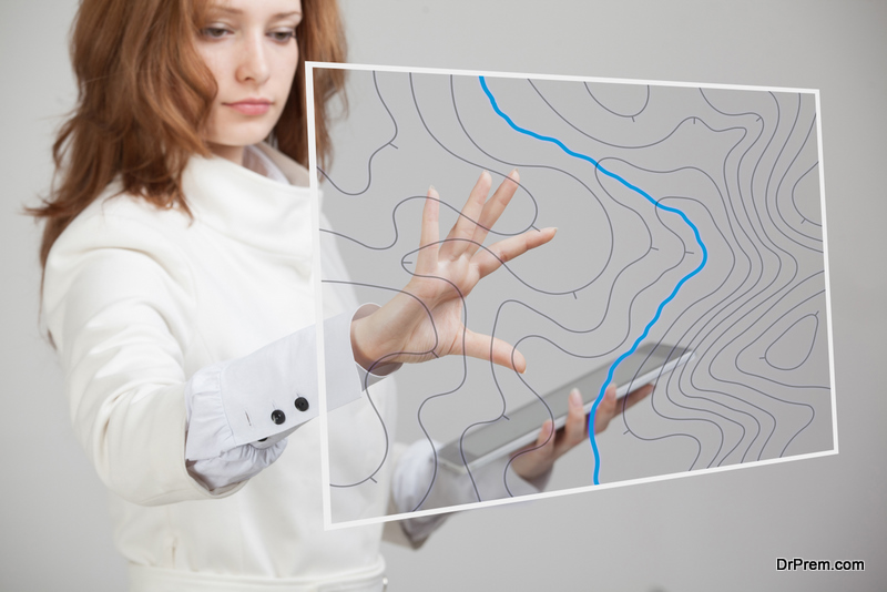
In case you don’t know about them, Geographic Information Systems or GIS basically represent the ability to figure out as well as to maintain the information related to a region. Through its help we can visualise, analyse and interpret that data that includes but is not restricted to physical features, its socio-economic data, etc.
Remote sensing application, on the other hand, enables us to collect the data through the sensors in well-defined formats. Usually, remote sensing application operates on the energy that’s reflected from the earth. To collect this, the devices operating on this technology are usually placed on high flying aircrafts or satellites so that they can have a broader view of any terrain.
Remote Sensing Application and Geographic Information System
Well, it is clear that both remote sensing and geographic information systems are intricately connected. In fact, they are popular as remote sensing gis. But, how are they connected? That is the question. Basically, the data that’s first collected using remote sensing application is later integrated into GIS. It happens in different ways mentioned here.
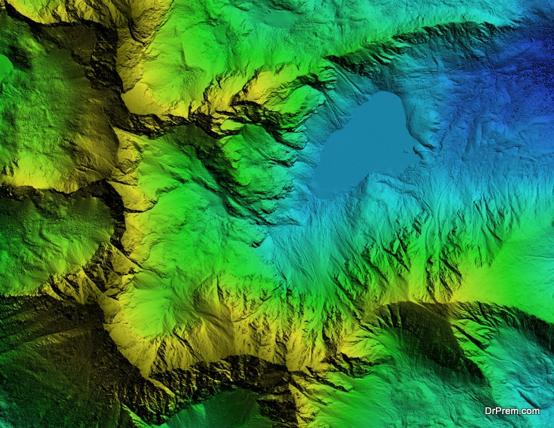
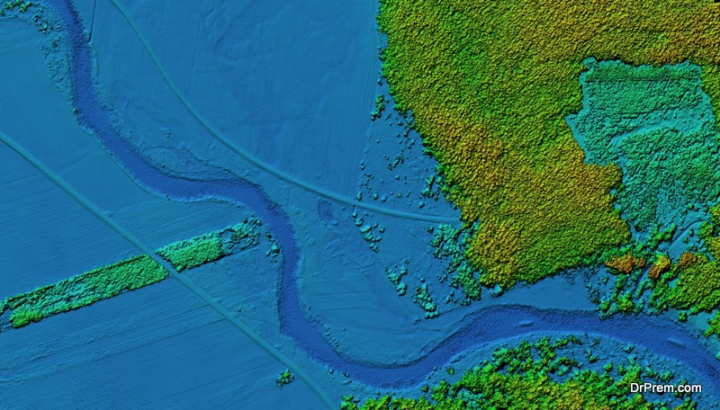
Three Dimensional Images
This is the first step. Using remote sensing, the engineers find out how the topography of the region in question is. There’s a technology called LiDAR or Light Detection and Ranging that helps in determining the topography of the earth’s surface. In this, sensors utilize pulsed lasers directed to specific location and orientation that ultimately help in collecting a group of points of different elevation. These are known as point clouds. Later, we can utilize these points and form digital elevation models and contours, which give us a better idea of the shape of the surface under scrutiny. Ultimately, this could help in giving a very exact estimate of variables that could help for further use.
Monitoring Land Use
There’s one more thing that the sensors could do. Through optical sensors you could get an estimate of how much solar radiation is reflected by the surface under scrutiny. This could help greatly in monitoring the land use. It is basically done by combining different wavelengths which ultimately take form of the image that look like a photograph, only with much more detail.
Other Uses
There are plenty of other very popular uses of remote sensing as well. For example, in hydrologic application in particular, it tends to help when it’s about something like taking a measure of the area of an impervious surface, which is also achieved by differentiating the several bands that appear in the images obtained by the optical sensors. These bands appear because different materials tend to reflect and absorb infrared light in their own unique manner.
Final Words
As technology is improving so are the ways in which we assess our land and interpret the data. Remote sensing application and Geographic Information Systems are just two milestones on the frontier, which is bound to become much more technologically advanced with future, as that’s the way towards progress and development.
Article Submitted By Community Writer